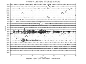
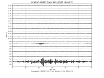
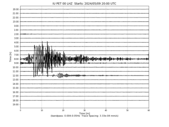
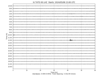
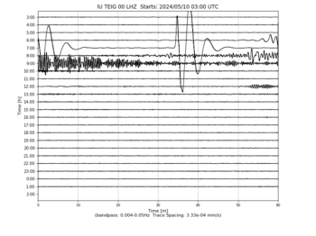
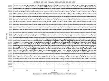
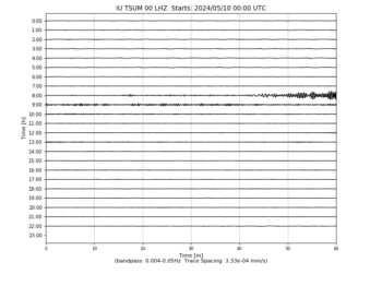
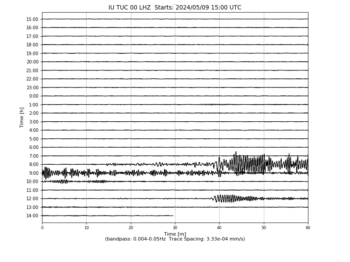
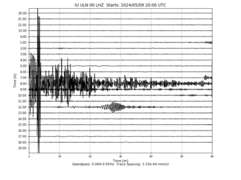
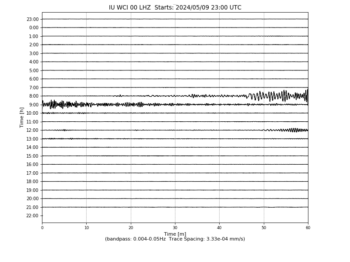
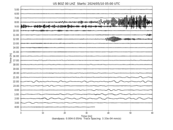
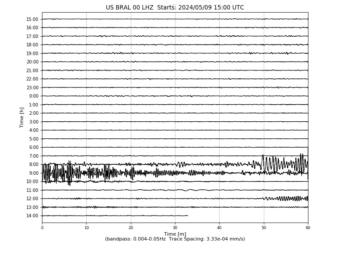
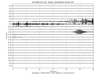
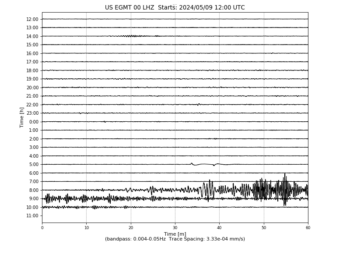
Heliplots Update for 12/19/16 – 10:

These data update automatically every 30 minutes

Last update: December 20, 2016 06:02:31 UTC

Seismograms may take several moments to load. Click on a plot to see larger image.

  • CU/ANWB Willy Bob, Antigua and Barbuda
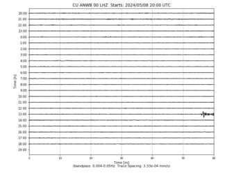
    Heliplot Image
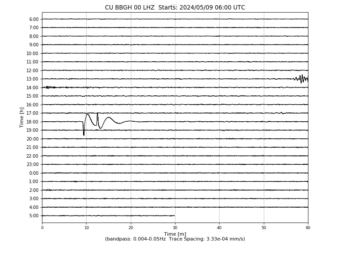
  • CU/BBGH Gun Hill, Barbados
    Heliplot Image
  • CU/BCIP Isla Barro Colorado, Panama
    Heliplot Image
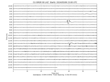
  • CU/GRGR Grenville, Grenada
    Heliplot Image
  • CU/GRTK Grand Turk, Turks and Caicos Islands
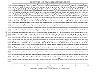
    Heliplot Image
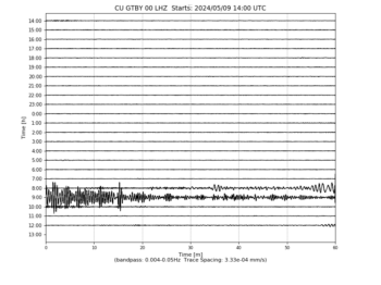
  • CU/GTBY Guantanamo Bay, Cuba
    Heliplot Image
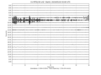
  • CU/MTDJ Mount Denham, Jamaica
    Heliplot Image
  • CU/SDDR Presa de Sabenta, Dominican Republic
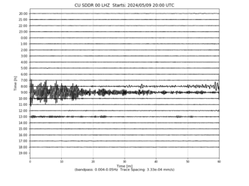
    Heliplot Image
  • CU/TGUH Tegucigalpa, Honduras
    Heliplot Image
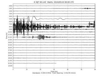
  • IC/BJT Baijiatuan, Beijing, China
    Heliplot Image
  • IC/ENH Enshi, Hubei Province, China
    Heliplot Image
  • IC/HIA Hailar, Neimenggu Autonomous Region, China
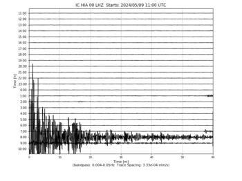
    Heliplot Image
  • IC/KMI Kunming, Yunnan Province, China
    Heliplot Image
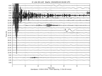
  • IC/LSA Tibet, China
    Heliplot Image
  • IC/MDJ Mudanjiang, Heilongjiang Province, China
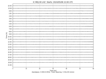
    Heliplot Image
  • IC/QIZ Qiongzhong, Hainan Province, China
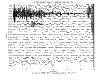
    Heliplot Image
  • IC/SSE Shanghai, China
    Heliplot Image
  • IC/WMQ Urumqi, Xinjiang Province, China
    Heliplot Image
  • IC/XAN Xi’an, China
    Heliplot Image
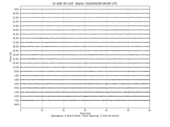
  • IU/ADK Adak, Aleutian Islands, Alaska
    Heliplot Image
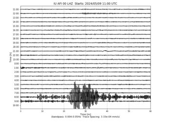
  • IU/AFI Afiamalu, Samoa
    Heliplot Image
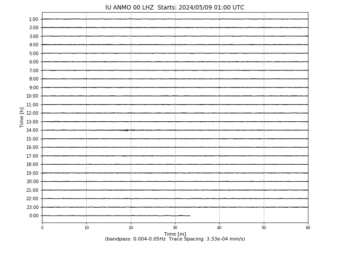
  • IU/ANMO Albuquerque, New Mexico, USA
    Heliplot Image
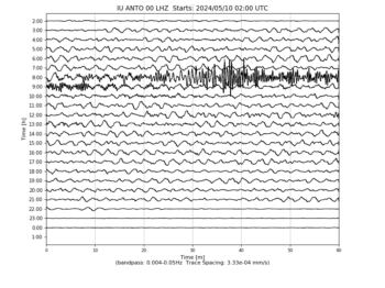
  • IU/ANTO Ankara, Turkey
    Heliplot Image
  • IU/BBSR Bermuda Institute of Ocean Sciences, St George’s Bermuda
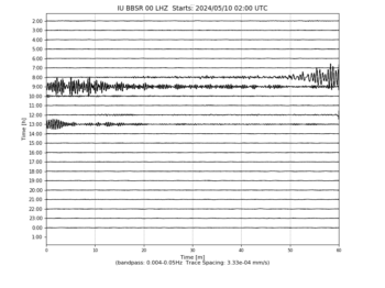
    Heliplot Image
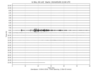
  • IU/BILL Bilibino, Russia
    Heliplot Image
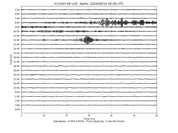
  • IU/CASY Casey, Antarctica
    Heliplot Image
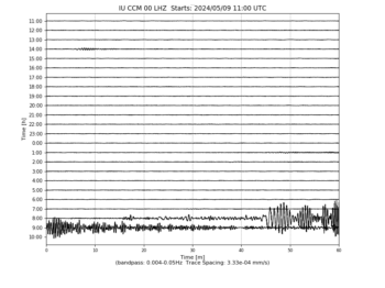
  • IU/CCM Cathedral Cave, Missouri, USA
    Heliplot Image
  • IU/CHTO Chiang Mai, Thailand
    Heliplot Image
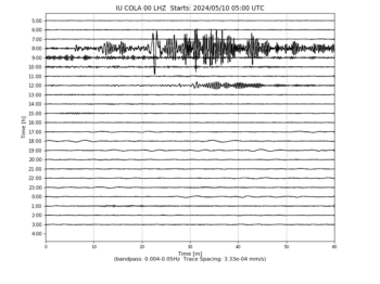
  • IU/COLA College Outpost, Alaska, USA
    Heliplot Image
  • IU/COR Corvallis, Oregon, USA
    Heliplot Image
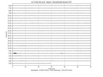
  • IU/CTAO Charters Towers, Australia
    Heliplot Image
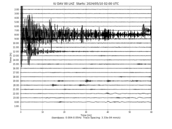
  • IU/DAV Davao, Philippines
    Heliplot Image
  • IU/DWPF Disney Wilderness Preserve, Florida, USA
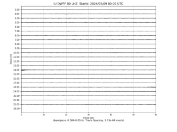
    Heliplot Image
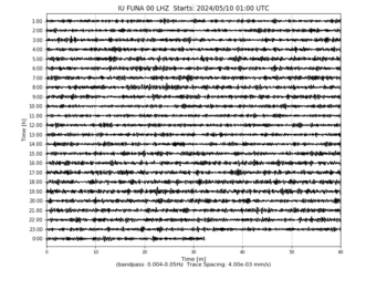
  • IU/FUNA Funafuti, Tuvalu
    Heliplot Image
  • IU/FURI Mt. Furi, Ethiopia
    Heliplot Image
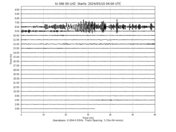
  • IU/GNI Garni, Armenia
    Heliplot Image
  • IU/GRFO Grafenberg, Germany
    Heliplot Image
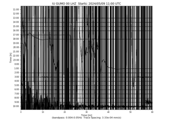
  • IU/GUMO Guam, Mariana Islands
    Heliplot Image
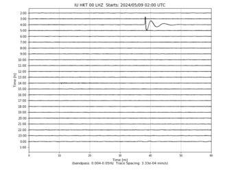
  • IU/HKT Hockley, Texas
    Heliplot Image
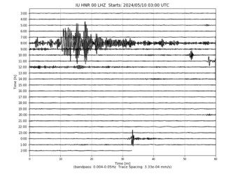
  • IU/HNR Honiara, Solomon Islands
    Heliplot Image
  • IU/HRV Adam Dziewonski Observatory (Oak Ridge), Massachusetts, USA
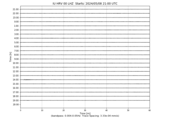
    Heliplot Image
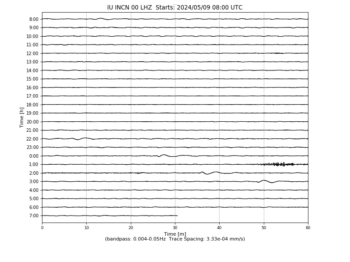
  • IU/INCN Inchon, Republic of Korea
    Heliplot Image
  • IU/JOHN Johnston Island, USA
    Heliplot Image
  • IU/KBL Kabul, Afghanistan
    Heliplot Image
  • IU/KBS Ny-Alesund, Spitzbergen, Norway
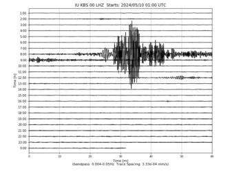
    Heliplot Image
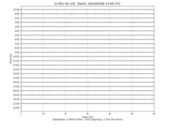
  • IU/KEV Kevo, Finland
    Heliplot Image
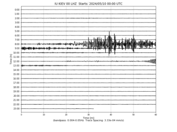
  • IU/KIEV Kiev, Ukraine
    Heliplot Image
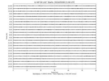
  • IU/KIP Kipapa, Hawaii, USA
    Heliplot Image
  • IU/KMBO Kilima Mbogo, Kenya
    Heliplot Image
  • IU/KNTN Kanton, Kiritibati
    Heliplot Image
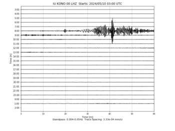
  • IU/KONO Kongsberg, Norway
    Heliplot Image
  • IU/KOWA Kowa, Mali
    Heliplot Image
  • IU/LCO Las Campanas Astronomical Observatory, Chile
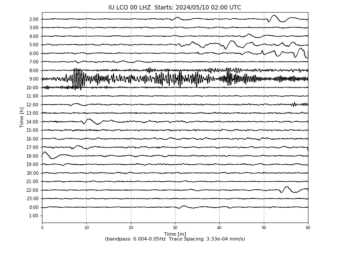
    Heliplot Image
  • IU/LSZ Lusaka, Zambia
    Heliplot Image
  • IU/LVC Limon Verde, Chile
    Heliplot Image
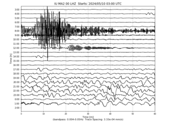
  • IU/MA2 Magadan, Russia
    Heliplot Image
  • IU/MACI Morro de la Arena, Canary Islands
    Heliplot Image
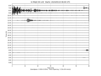
  • IU/MAJO Matsushiro, Japan
    Heliplot Image
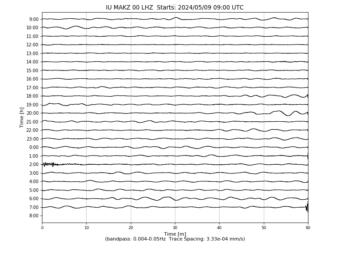
  • IU/MAKZ Makanchi, Kazakhstan
    Heliplot Image
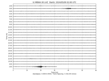
  • IU/MBWA Marble Bar, Western Australia
    Heliplot Image
  • IU/MIDW Midway Island, USA
    Heliplot Image
  • IU/MSKU Masuku, Gabon
    Heliplot Image
  • IU/NWAO Narrogin, Australia
    Heliplot Image
  • IU/OTAV Otavalo, Ecuador
    Heliplot Image
  • IU/PAB San Pablo, Spain
    Heliplot Image
  • IU/PAYG Puerto Ayora, Galapagos Islands
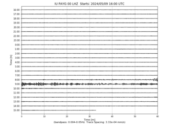
    Heliplot Image
  • IU/PET Petropavlovsk, Russia
    Heliplot Image
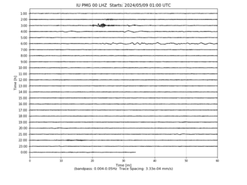
  • IU/PMG Port Moresby, New Guinea
    Heliplot Image
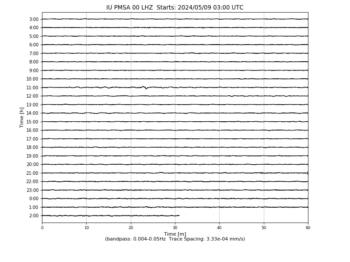
  • IU/PMSA Palmer Station, Antarctica
    Heliplot Image
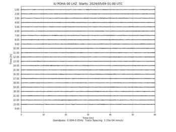
  • IU/POHA Pohakuloa, Hawaii, USA
    Heliplot Image
  • IU/PTCN Pitcairn Island, South Pacific
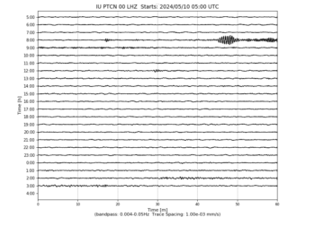
    Heliplot Image
  • IU/PTGA Pitinga, Brazil
    Heliplot Image
  • IU/QSPA South Pole Remote Earth Science Observatory (Quiet Zone)
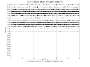
    Heliplot Image
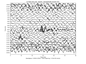
  • IU/RAO Raoul, Kermadec Islands
    Heliplot Image
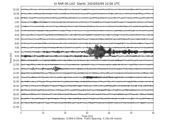
  • IU/RAR Rarotonga, Cook Islands
    Heliplot Image
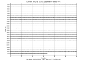
  • IU/RCBR Riachuelo, Brazil
    Heliplot Image
  • IU/RSSD Black Hills, South Dakota, USA
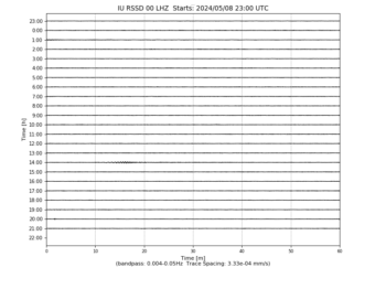
    Heliplot Image
  • IU/SAML Samuel, Brazil
    Heliplot Image
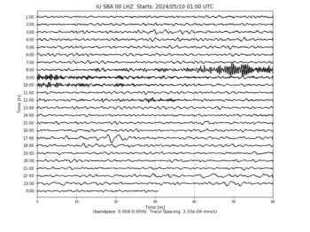
  • IU/SBA Scott Base, Antarctica
    Heliplot Image
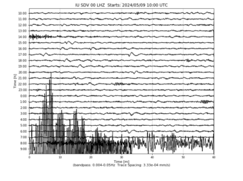
  • IU/SDV Santo Domingo, Venezuela
    Heliplot Image
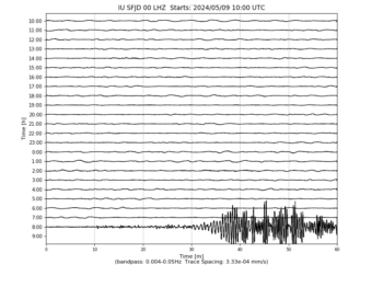
  • IU/SFJD Sondre Stromfjord, Greenland
    Heliplot Image
  • IU/SJG San Juan, Puerto Rico
    Heliplot Image
  • IU/SLBS Sierra la Laguna Baja California Sur, Mexico
    Heliplot Image
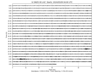
  • IU/SNZO South Karori, New Zealand
    Heliplot Image
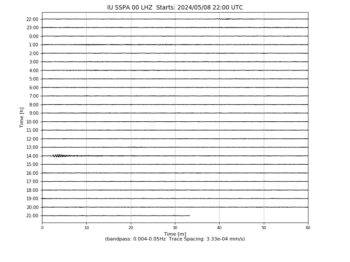
  • IU/SSPA Standing Stone, Pennsylvania
    Heliplot Image
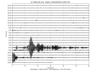
  • IU/TARA Tarawa Island, Republic of Kiribati
    Heliplot Image
  • IU/TATO Taipei, Taiwan
    Heliplot Image
  • IU/TEIG Tepich, Yucatan, Mexico
    Heliplot Image
  • IU/TIXI Tiksi, Russia
    Heliplot Image
  • IU/TRIS Tristan da Cunha
    Heliplot Image
  • IU/TRQA Tornquist, Argentina
    Heliplot Image
  • IU/TSUM Tsumeb, Namibia
    Heliplot Image
  • IU/TUC Tucson, Arizona
    Heliplot Image
  • IU/ULN Ulaanbaatar, Mongolia
    Heliplot Image
  • IU/WAKE Wake Island
    Heliplot Image
  • IU/WCI Wyandotte Cave, Indiana, USA
    Heliplot Image
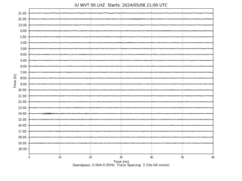
  • IU/WVT Waverly, Tennessee, USA
    Heliplot Image
  • IU/XMAS Kiritimati Island, Republic of Kiribati
    Heliplot Image
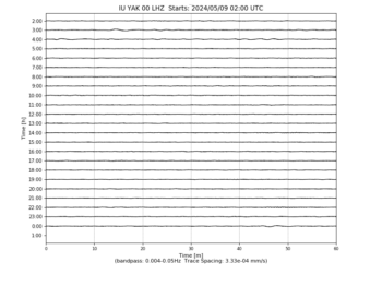
  • IU/YAK Yakutsk, Russia
    Heliplot Image
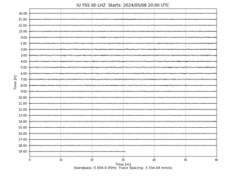
  • IU/YSS Yuzhno Sakhalinsk, Russia
    Heliplot Image
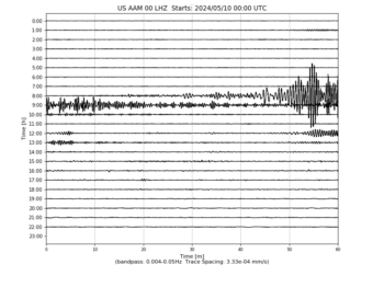
  • US/AAM Ann Arbor, Michigan, USA
    Heliplot Image
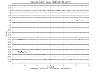
  • US/ACSO Alum Creek State Park, Ohio, USA
    Heliplot Image
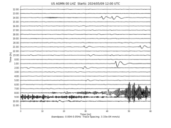
  • US/AGMN Agassiz National Wildlife Refuge, Minnesota, USA
    Heliplot Image
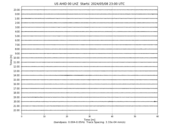
  • US/AHID Auburn Hatchery, Idaho, USA
    Heliplot Image
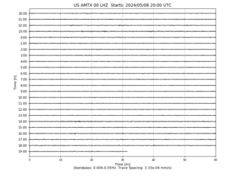
  • US/AMTX Amarillo, Texas, USA
    Heliplot Image
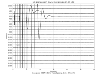
  • US/BINY Binghamton, New York, USA
    Heliplot Image
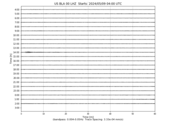
  • US/BLA Blacksburg, Virginia, USA
    Heliplot Image
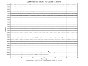
  • US/BMO Blue Mountains Array (Baker), Oregon, USA
    Heliplot Image
  • US/BOZ Bozeman, Montana, USA
    Heliplot Image
  • US/BRAL Brewton, Alabama, USA
    Heliplot Image
  • US/BW06 Boulder Array Site 6 (Pinedale Array Site 6), Wyoming, USA
    Heliplot Image
  • US/CBKS Cedar Bluff, Kansas, USA
    Heliplot Image
  • US/CBN Corbin (Fredericksburg Observatory), Virginia, USA
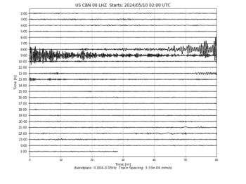
    Heliplot Image
  • US/CNNC Cliffs of the Neuse, North Carolina, USA
    Heliplot Image
  • US/COWI Conover, Wisconsin, USA
    Heliplot Image
  • US/DGMT Dagmar, Montana, USA
    Heliplot Image
  • US/DUG Dugway, Tooele County, Utah, USA
    Heliplot Image
  • US/ECSD EROS Data Center, Sioux Falls, South Dakota, USA
    Heliplot Image
  • US/EGAK Eagle, Central Alaska, Alaska, USA
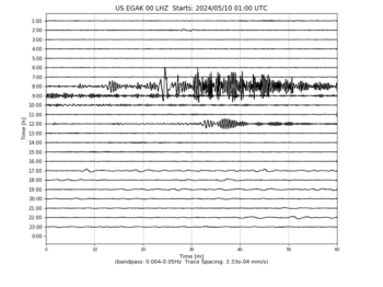
    Heliplot Image
  • US/EGMT Eagleton, Montana, USA
    Heliplot Image
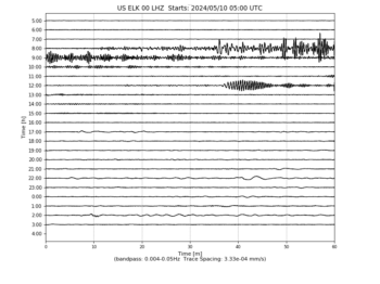
  • US/ELK Elko, Nevada, USA
    Heliplot Image
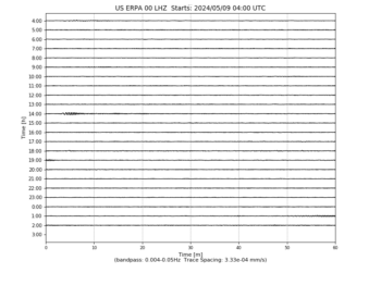
  • US/ERPA Erie, Pennsylvania, USA
    Heliplot Image
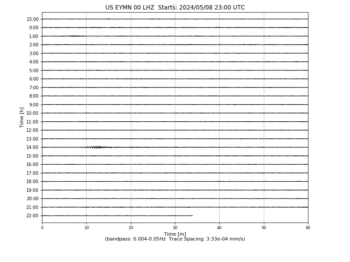
  • US/EYMN Ely, Minnesota, USA
    Heliplot Image
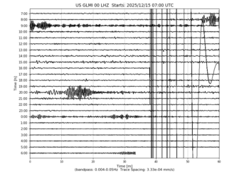
  • US/GLMI Grayling, Michigan, USA
    Heliplot Image
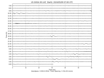
  • US/GOGA Godfrey, Georgia, USA
    Heliplot Image
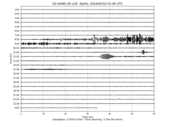
  • US/HAWA Hanford, Washington, USA
    Heliplot Image
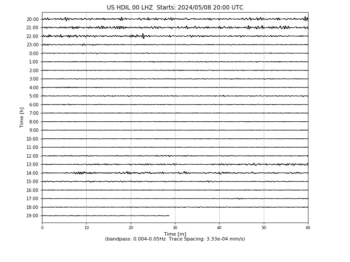
  • US/HDIL Hopedale, Illinois, USA
    Heliplot Image
  • US/HLID Hailey, Idaho, USA
    Heliplot Image
  • US/HWUT Hardware Ranch, Cache County, Utah, USA
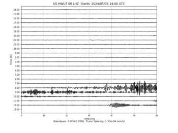
    Heliplot Image
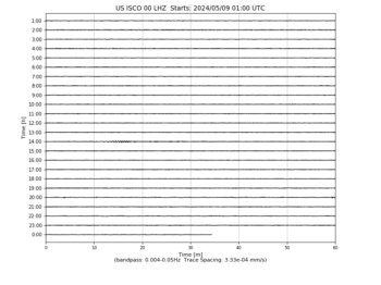
  • US/ISCO Idaho Springs, Colorado, USA
    Heliplot Image
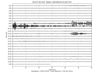
  • US/JCT Junction, Texas, USA
    Heliplot Image
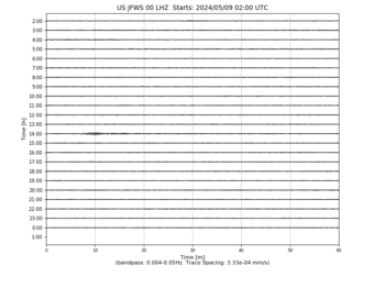
  • US/JFWS Jewell Farm, Wisconsin, USA
    Heliplot Image
  • US/KSU1 Kansas State University–Konza Prairie, Kansas, USA
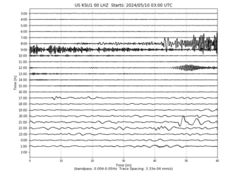
    Heliplot Image
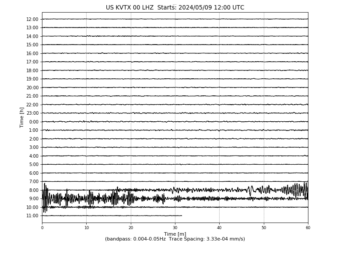
  • US/KVTX Kingsville, Texas, USA
    Heliplot Image
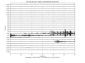
  • US/LAO LASA Array, Montana, USA
    Heliplot Image
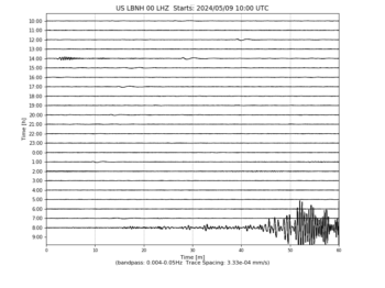
  • US/LBNH Lisbon, New Hampshire, USA
    Heliplot Image
  • US/LKWY Lake (Yellowstone–Lake), Yellowstone National Park, Wyoming
    Heliplot Image
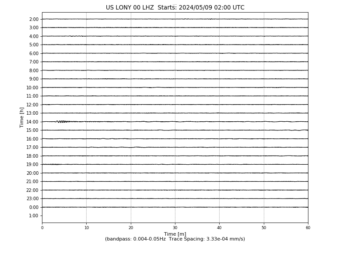
  • US/LONY Lake Ozonia, New York, USA
    Heliplot Image
  • US/LRAL Lakeview Retreat, Alabama, USA
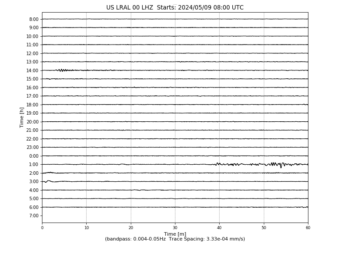
    Heliplot Image
  • US/MCWV Mont Chateau, West Virginia, USA
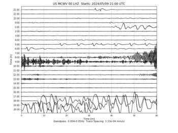
    Heliplot Image
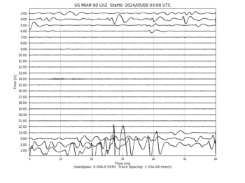
  • US/MIAR Mount Ida, Arkansas, USA
    Heliplot Image
  • US/MNTX Cornudas Mountains, Texas, USA
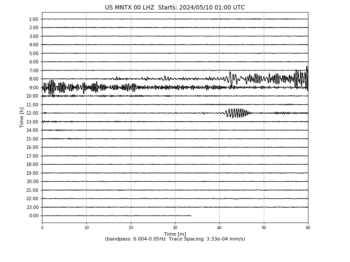
    Heliplot Image
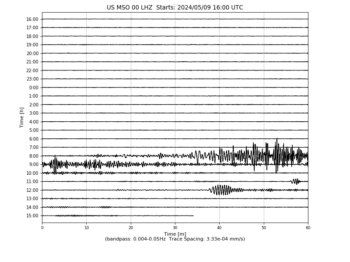
  • US/MSO Missoula, Montana, USA
    Heliplot Image
  • US/MVCO Mesa Verde, Colorado, USA
    Heliplot Image
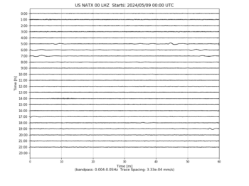
  • US/NATX Nacogdoches, Texas, USA
    Heliplot Image
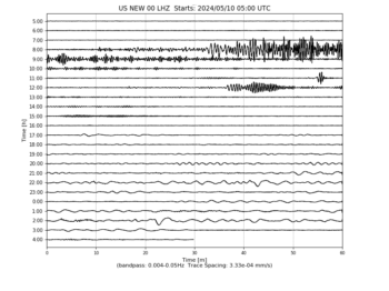
  • US/NEW Newport, Washington, USA
    Heliplot Image
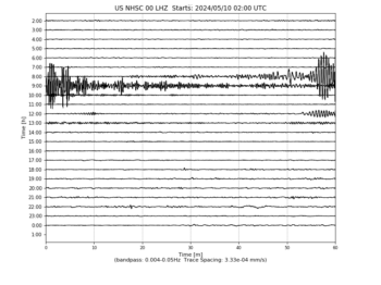
  • US/NHSC New Hope, South Carolina, USA
    Heliplot Image
  • US/NLWA Neilton Lookout, Washington, USA
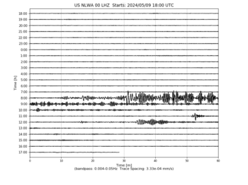
    Heliplot Image
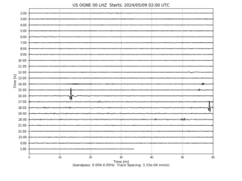
  • US/OGNE Ogallala, Nebraska, USA
    Heliplot Image
  • US/OXF Oxford, Mississippi, USA
    Heliplot Image
  • US/PKME Peaks-Kenny State Park, Maine, USA
    Heliplot Image
  • US/RLMT Red Lodge, Montana, USA
    Heliplot Image
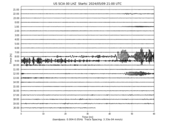
  • US/SCIA State Center, Iowa, USA
    Heliplot Image
  • US/SDCO Great Sand Dunes National Park, Colorado, USA
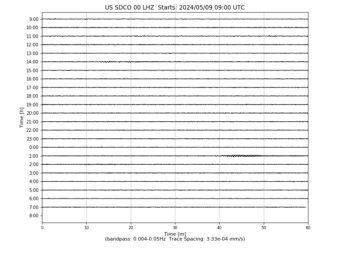
    Heliplot Image
  • US/TPNV Topopah Spring, Nevada, USA
    Heliplot Image
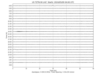
  • US/TZTN Tazewell, Tennessee, USA
    Heliplot Image
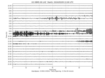
  • US/VBMS Vicksburg, Mississippi
    Heliplot Image
  • US/WMOK Wichita Mountains, Oklahoma, USA
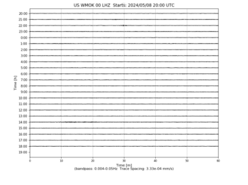
    Heliplot Image
  • US/WRAK Wrangell Island, Southeastern Alaska, Alaska, USA
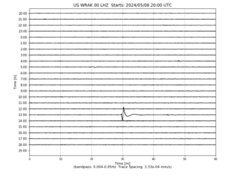
    Heliplot Image
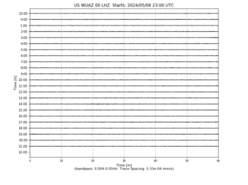
  • US/WUAZ Wupatki, Arizona, USA
    Heliplot Image
  • US/WVOR Wild Horse Valley, Oregon, USA
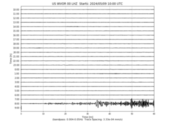
    Heliplot Image

Elon Musk Thinks Universal Income is Answer to Automation Taking Human Jobs

Tech innovators in the self-driving car and AI industries talk a lot about how many human jobs will be innovated out of existence, but they rarely explain what will happen to all those newly jobless humans. As usual, Tesla and SpaceX founder Elon Musk responds to an obvious question with an answer that may surprise some.In an interview with CNBC on Friday, Musk said that he believes the solution to taking care of human workers who are displaced by robots and software is creating a (presumably government-backed) universal basic income for all.

“There’s a pretty good chance we end up with a universal basic income, or something like that, due to automation,” said Musk. “I’m not sure what else one would do. That’s what I think would happen.”

The idea sounds great, and makes perfect sense in an emerging jobs landscape where automation in fast food, banks, customer service and, soon, deliveries are slowing erasing the incomes of vast swaths of middle and low-income U.S. citizens.

Continue reading here.  

New Scientific Study Says Solar Can Already Generate More Energy Than Oil

Lance Schuttler, The Mind Unleashed
Waking Times Media


Our planet's energy comes from the sun. Digital illustration.
Our planet’s energy comes from the sun. Digital illustration.

Oil proponents have been saying for awhile now that solar doesn’t match up to oil’s energy output, but that statement may have just been proven false. In a major scientific study published in November 2016’s Renewable and Sustainable Energy Review,researchers looked at 29 separate studies and compared the solar photovoltaics (PV) generated as compared to the energy needed to create and install the panels.

The study compiled all the data from the 29 separate studies to gain a clearer picture of solar power’s energetic output. What they found was that only 5 of the 29 studies used recent data, which initially, showed a bleaker picture of what solar can actually generate. However, after compiling data with up to date technological advances in solar energy, the studies showed that solar can generate 14 times the power needed to create the panels.

The author of the study, Rembrandt Koppelar, who is a doctoral researcher at the Center for Environmental Policy, Imperial College London, said that oftentimes solar studies are using data that date back to as far as 1998. In other words, many studies put out there about solar energy are using technological data that is many years old, and not up to date with current capabilities of solar energy output.

Continue reading here.

Faulty Pipeline Leaks 176,000 GALLONS of Oil in Creek 2.5 Hours from Standing Rock

Editor’s note:  Another reason to do away with this archaic technology, not to mention shoddy constructions and shady contractors.  

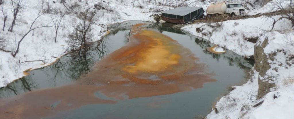
A faulty pipeline has leaked 176,000 gallons of crude oil into a creek and the surrounding countryside 2.5 hours away from the Standing Rock protests in North Dakota.

The spill, which went undetected by the pipeline owners until a local stumbled on it, has spread almost 7 km (5.4 miles) from the site of the leak, and at this stage, it’s not clear what caused the pipe to rupture, or how long it’s been leaking.

According to CNN, an estimated 4,200 barrels of crude oil leaked from the Belle Fourche Pipeline in Billings County, 150 miles (241 km) from Cannon Ball in North Dakota, where protesters have been fighting the construction of the Dakota Access Pipeline.

For months, opponents of the Dakota Access Pipeline have been expressing fears that it would affect local drinking water, because it was to be built under the Missouri River near the Standing Rock Sioux Reservation – the primary water source of the Standing Rock Sioux tribe.

Last week, the US Department of the Army announced that it would not approve the crossing of the pipeline under the Missouri River.

The massive nearby spill – which was discovered on the same day that the Dakota Access Pipeline construction permit was denied – might have just proved the protesters’ point.

Continue reading here.

Bee Venom Showed To Destroy HIV

beevenomtherapyNanoparticles carrying a toxin found in bee venom can destroy human immunodeficiency virus (HIV) while leaving the surrounding cells unharmed. The research was conducted by the Washington University School of Medicine in St. Louis. The Nanoparticles carry melittin, which is the principal active component of bee venom. Melittin fuses with the HIV virus and destroys it’s protective envelope while molecular bumpers prevent the nanoparticles from harming the body’s normal cells. Bee venom is known to disrupt cellular walls and destroy tumour cells as well.

Bee venom contains a potent toxin called melittin that can poke holes in the protective envelope that surrounds HIV, and other viruses. Large amounts of free melittin can cause a lot of damage. Indeed, in addition to anti-viral therapy, the paper’s senior author, Samuel A. Wickline, MD, the J. Russell Hornsby Professor of Biomedical Sciences, has shown melittin-loaded nanoparticles to be effective in killing tumor cells.

The new study shows that melittin loaded onto these nanoparticles does not harm normal cells. That’s because Hood added protective bumpers to the nanoparticle surface. When the nanoparticles come into contact with normal cells, which are much larger in size, the particles simply bounce off. HIV, on the other hand, is even smaller than the nanoparticle, so HIV fits between the bumpers and makes contact with the surface of the nanoparticle, where the bee toxin awaits. (1)

Continue reading here.

Incoming: Massive Wave of Energy Expected 12/26

Editor’s note:  Been reading about this, both from the scientific and spiritual perspective.   Supposedly this has been monitored since 1989.  My opinion? This is another part of Ascension energies – these energy waves can affect our DNA (again, science confirms this).  This is the big one though – the last of 3.   I recently had a dream where I saw three (yes, three) incoming “waves” hitting the planet with a long pause between more the gentle waves before one large one hit.  I was simply observing the whole situation, my Higher Self guiding me to remain grounded, be the observer and not to get caught up in the chaos or really, anything mainstream.  In my dream, I didn’t see any death but I did see the masses getting hit by this wave were completely caught unaware, being tossed around.  

Heliplot Update for 12/7/2016 19:00 UST

Editor’s note:  Notice the difference as to the readings 12 hours ago. Frequency charts still showing global activity and yet today’s readings show the spikes at the top of the chart (anyone know what this means?) as compared to last night’s which was more even across the spectrum.  Will keep you all updated.  

These data update automatically every 30 minutes

Last update: December 07, 2016 19:02:41 UTC

Seismograms may take several moments to load. Click on a plot to see larger image.

  • CU/ANWB Willy Bob, Antigua and Barbuda
    Heliplot Image
  • CU/BBGH Gun Hill, Barbados
    Heliplot Image
  • CU/BCIP Isla Barro Colorado, Panama
    Heliplot Image
  • CU/GRGR Grenville, Grenada
    Heliplot Image
  • CU/GRTK Grand Turk, Turks and Caicos Islands
    Heliplot Image
  • CU/GTBY Guantanamo Bay, Cuba
    Heliplot Image
  • CU/MTDJ Mount Denham, Jamaica
    Heliplot Image
  • CU/SDDR Presa de Sabenta, Dominican Republic
    Heliplot Image
  • CU/TGUH Tegucigalpa, Honduras
    Heliplot Image
  • IC/BJT Baijiatuan, Beijing, China
    Heliplot Image
  • IC/ENH Enshi, Hubei Province, China
    Heliplot Image
  • IC/HIA Hailar, Neimenggu Autonomous Region, China
    Heliplot Image
  • IC/KMI Kunming, Yunnan Province, China
    Heliplot Image
  • IC/LSA Tibet, China
    Heliplot Image
  • IC/MDJ Mudanjiang, Heilongjiang Province, China
    Heliplot Image
  • IC/QIZ Qiongzhong, Hainan Province, China
    Heliplot Image
  • IC/SSE Shanghai, China
    Heliplot Image
  • IC/WMQ Urumqi, Xinjiang Province, China
    Heliplot Image
  • IC/XAN Xi’an, China
    Heliplot Image
  • IU/ADK Adak, Aleutian Islands, Alaska
    Heliplot Image
  • IU/AFI Afiamalu, Samoa
    Heliplot Image
  • IU/ANMO Albuquerque, New Mexico, USA
    Heliplot Image
  • IU/ANTO Ankara, Turkey
    Heliplot Image
  • IU/BBSR Bermuda Institute of Ocean Sciences, St George’s Bermuda
    Heliplot Image
  • IU/BILL Bilibino, Russia
    Heliplot Image
  • IU/CASY Casey, Antarctica
    Heliplot Image
  • IU/CCM Cathedral Cave, Missouri, USA
    Heliplot Image
  • IU/CHTO Chiang Mai, Thailand
    Heliplot Image
  • IU/COLA College Outpost, Alaska, USA
    Heliplot Image
  • IU/COR Corvallis, Oregon, USA
    Heliplot Image
  • IU/CTAO Charters Towers, Australia
    Heliplot Image
  • IU/DAV Davao, Philippines
    Heliplot Image
  • IU/DWPF Disney Wilderness Preserve, Florida, USA
    Heliplot Image
  • IU/FUNA Funafuti, Tuvalu
    Heliplot Image
  • IU/FURI Mt. Furi, Ethiopia
    Heliplot Image
  • IU/GNI Garni, Armenia
    Heliplot Image
  • IU/GRFO Grafenberg, Germany
    Heliplot Image
  • IU/GUMO Guam, Mariana Islands
    Heliplot Image
  • IU/HKT Hockley, Texas
    Heliplot Image
  • IU/HNR Honiara, Solomon Islands
    Heliplot Image
  • IU/HRV Adam Dziewonski Observatory (Oak Ridge), Massachusetts, USA
    Heliplot Image
  • IU/INCN Inchon, Republic of Korea
    Heliplot Image
  • IU/JOHN Johnston Island, USA
    Heliplot Image
  • IU/KBL Kabul, Afghanistan
    Heliplot Image
  • IU/KBS Ny-Alesund, Spitzbergen, Norway
    Heliplot Image
  • IU/KEV Kevo, Finland
    Heliplot Image
  • IU/KIEV Kiev, Ukraine
    Heliplot Image
  • IU/KIP Kipapa, Hawaii, USA
    Heliplot Image
  • IU/KMBO Kilima Mbogo, Kenya
    Heliplot Image
  • IU/KNTN Kanton, Kiritibati
    Heliplot Image
  • IU/KONO Kongsberg, Norway
    Heliplot Image
  • IU/KOWA Kowa, Mali
    Heliplot Image
  • IU/LCO Las Campanas Astronomical Observatory, Chile
    Heliplot Image
  • IU/LSZ Lusaka, Zambia
    Heliplot Image
  • IU/LVC Limon Verde, Chile
    Heliplot Image
  • IU/MA2 Magadan, Russia
    Heliplot Image
  • IU/MACI Morro de la Arena, Canary Islands
    Heliplot Image
  • IU/MAJO Matsushiro, Japan
    Heliplot Image
  • IU/MAKZ Makanchi, Kazakhstan
    Heliplot Image
  • IU/MBWA Marble Bar, Western Australia
    Heliplot Image
  • IU/MIDW Midway Island, USA
    Heliplot Image
  • IU/MSKU Masuku, Gabon
    Heliplot Image
  • IU/NWAO Narrogin, Australia
    Heliplot Image
  • IU/OTAV Otavalo, Ecuador
    Heliplot Image
  • IU/PAB San Pablo, Spain
    Heliplot Image
  • IU/PAYG Puerto Ayora, Galapagos Islands
    Heliplot Image
  • IU/PET Petropavlovsk, Russia
    Heliplot Image
  • IU/PMG Port Moresby, New Guinea
    Heliplot Image
  • IU/PMSA Palmer Station, Antarctica
    Heliplot Image
  • IU/POHA Pohakuloa, Hawaii, USA
    Heliplot Image
  • IU/PTCN Pitcairn Island, South Pacific
    Heliplot Image
  • IU/PTGA Pitinga, Brazil
    Heliplot Image
  • IU/QSPA South Pole Remote Earth Science Observatory (Quiet Zone)
    Heliplot Image
  • IU/RAO Raoul, Kermadec Islands
    Heliplot Image
  • IU/RAR Rarotonga, Cook Islands
    Heliplot Image
  • IU/RCBR Riachuelo, Brazil
    Heliplot Image
  • IU/RSSD Black Hills, South Dakota, USA
    Heliplot Image
  • IU/SAML Samuel, Brazil
    Heliplot Image
  • IU/SBA Scott Base, Antarctica
    Heliplot Image
  • IU/SDV Santo Domingo, Venezuela
    Heliplot Image
  • IU/SFJD Sondre Stromfjord, Greenland
    Heliplot Image
  • IU/SJG San Juan, Puerto Rico
    Heliplot Image
  • IU/SLBS Sierra la Laguna Baja California Sur, Mexico
    Heliplot Image
  • IU/SNZO South Karori, New Zealand
    Heliplot Image
  • IU/SSPA Standing Stone, Pennsylvania
    Heliplot Image
  • IU/TARA Tarawa Island, Republic of Kiribati
    Heliplot Image
  • IU/TATO Taipei, Taiwan
    Heliplot Image
  • IU/TEIG Tepich, Yucatan, Mexico
    Heliplot Image
  • IU/TIXI Tiksi, Russia
    Heliplot Image
  • IU/TRIS Tristan da Cunha
    Heliplot Image
  • IU/TRQA Tornquist, Argentina
    Heliplot Image
  • IU/TSUM Tsumeb, Namibia
    Heliplot Image
  • IU/TUC Tucson, Arizona
    Heliplot Image
  • IU/ULN Ulaanbaatar, Mongolia
    Heliplot Image
  • IU/WAKE Wake Island
    Heliplot Image
  • IU/WCI Wyandotte Cave, Indiana, USA
    Heliplot Image
  • IU/WVT Waverly, Tennessee, USA
    Heliplot Image
  • IU/XMAS Kiritimati Island, Republic of Kiribati
    Heliplot Image
  • IU/YAK Yakutsk, Russia
    Heliplot Image
  • IU/YSS Yuzhno Sakhalinsk, Russia
    Heliplot Image
  • US/AAM Ann Arbor, Michigan, USA
    Heliplot Image
  • US/ACSO Alum Creek State Park, Ohio, USA
    Heliplot Image
  • US/AGMN Agassiz National Wildlife Refuge, Minnesota, USA
    Heliplot Image
  • US/AHID Auburn Hatchery, Idaho, USA
    Heliplot Image
  • US/AMTX Amarillo, Texas, USA
    Heliplot Image
  • US/BINY Binghamton, New York, USA
    Heliplot Image
  • US/BLA Blacksburg, Virginia, USA
    Heliplot Image
  • US/BMO Blue Mountains Array (Baker), Oregon, USA
    Heliplot Image
  • US/BOZ Bozeman, Montana, USA
    Heliplot Image
  • US/BRAL Brewton, Alabama, USA
    Heliplot Image
  • US/BW06 Boulder Array Site 6 (Pinedale Array Site 6), Wyoming, USA
    Heliplot Image
  • US/CBKS Cedar Bluff, Kansas, USA
    Heliplot Image
  • US/CBN Corbin (Fredericksburg Observatory), Virginia, USA
    Heliplot Image
  • US/CNNC Cliffs of the Neuse, North Carolina, USA
    Heliplot Image
  • US/COWI Conover, Wisconsin, USA
    Heliplot Image
  • US/DGMT Dagmar, Montana, USA
    Heliplot Image
  • US/DUG Dugway, Tooele County, Utah, USA
    Heliplot Image
  • US/ECSD EROS Data Center, Sioux Falls, South Dakota, USA
    Heliplot Image
  • US/EGAK Eagle, Central Alaska, Alaska, USA
    Heliplot Image
  • US/EGMT Eagleton, Montana, USA
    Heliplot Image
  • US/ELK Elko, Nevada, USA
    Heliplot Image
  • US/ERPA Erie, Pennsylvania, USA
    Heliplot Image
  • US/EYMN Ely, Minnesota, USA
    Heliplot Image
  • US/GLMI Grayling, Michigan, USA
    Heliplot Image
  • US/GOGA Godfrey, Georgia, USA
    Heliplot Image
  • US/HAWA Hanford, Washington, USA
    Heliplot Image
  • US/HDIL Hopedale, Illinois, USA
    Heliplot Image
  • US/HLID Hailey, Idaho, USA
    Heliplot Image
  • US/HWUT Hardware Ranch, Cache County, Utah, USA
    Heliplot Image
  • US/ISCO Idaho Springs, Colorado, USA
    Heliplot Image
  • US/JCT Junction, Texas, USA
    Heliplot Image
  • US/JFWS Jewell Farm, Wisconsin, USA
    Heliplot Image
  • US/KSU1 Kansas State University–Konza Prairie, Kansas, USA
    Heliplot Image
  • US/KVTX Kingsville, Texas, USA
    Heliplot Image
  • US/LAO LASA Array, Montana, USA
    Heliplot Image
  • US/LBNH Lisbon, New Hampshire, USA
    Heliplot Image
  • US/LKWY Lake (Yellowstone–Lake), Yellowstone National Park, Wyoming
    Heliplot Image
  • US/LONY Lake Ozonia, New York, USA
    Heliplot Image
  • US/LRAL Lakeview Retreat, Alabama, USA
    Heliplot Image
  • US/MCWV Mont Chateau, West Virginia, USA
    Heliplot Image
  • US/MIAR Mount Ida, Arkansas, USA
    Heliplot Image
  • US/MNTX Cornudas Mountains, Texas, USA
    Heliplot Image
  • US/MSO Missoula, Montana, USA
    Heliplot Image
  • US/MVCO Mesa Verde, Colorado, USA
    Heliplot Image
  • US/NATX Nacogdoches, Texas, USA
    Heliplot Image
  • US/NEW Newport, Washington, USA
    Heliplot Image
  • US/NHSC New Hope, South Carolina, USA
    Heliplot Image
  • US/NLWA Neilton Lookout, Washington, USA
    Heliplot Image
  • US/OGNE Ogallala, Nebraska, USA
    Heliplot Image
  • US/OXF Oxford, Mississippi, USA
    Heliplot Image
  • US/PKME Peaks-Kenny State Park, Maine, USA
    Heliplot Image
  • US/RLMT Red Lodge, Montana, USA
    Heliplot Image
  • US/SCIA State Center, Iowa, USA
    Heliplot Image
  • US/SDCO Great Sand Dunes National Park, Colorado, USA
    Heliplot Image
  • US/TPNV Topopah Spring, Nevada, USA
    Heliplot Image
  • US/TZTN Tazewell, Tennessee, USA
    Heliplot Image
  • US/VBMS Vicksburg, Mississippi
    Heliplot Image
  • US/WMOK Wichita Mountains, Oklahoma, USA
    Heliplot Image
  • US/WRAK Wrangell Island, Southeastern Alaska, Alaska, USA
    Heliplot Image
  • US/WUAZ Wupatki, Arizona, USA
    Heliplot Image
  • US/WVOR Wild Horse Valley, Oregon, USA
    Heliplot Image